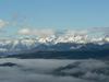


The top of Boč can be reached by several mountain trails, and by a couple of roads. A gravel road takes you to the very top, and asphalt roads from Zgornje Poljčane or Kostrivnica lead to the mountain hut some 300 metres lower. None of the ascents is easy, and that holds true also for the below described ascent from Zgornje Poljčane.
The ascent by asphalt road from Zgornje Poljčane to Boč is four and a half kilometres long, rising by 400 metres all the way to the mountain hut. All the time you will be struggling upwards the slope with a respectable average of 8,7 percent, with certain parts steeper than 10%! But don't let it worry you. The ascent is quite demanding – the well prepared cyclists will deal with it in less than 20 minutes – but still a lovely cycling challenge!
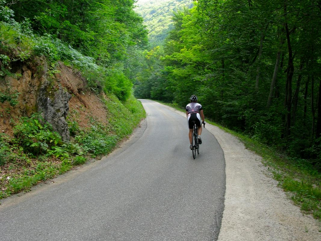
It starts with the steepest part
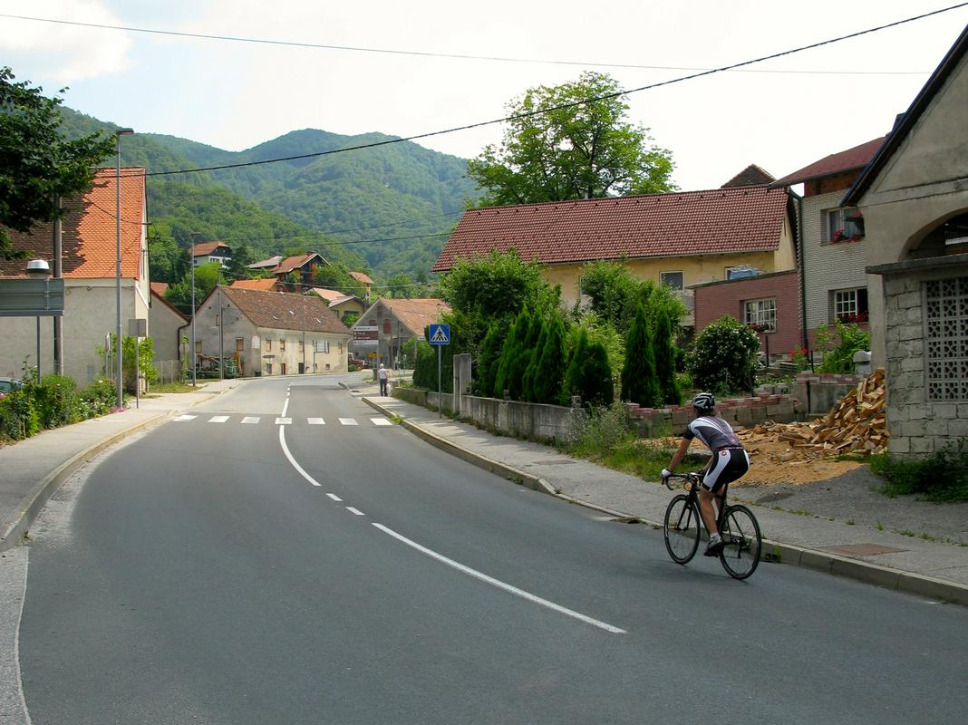
Start the ascent from Zgornje Poljčane. The shortest way is to exit the highway at Slovenjske Konjice, and follow the direction to Poljčane. Continue through the villages Žiče and Loče, and continue towards Zgornje Poljčane. If you are coming from the direction of Maribor, you can also exit the highway at the exit Slovenska Bistrica South, drive through Cigonca and Križni Vrh to Poljčane, and then continue to Zgornje Poljčane. You can park in the centre of the village.
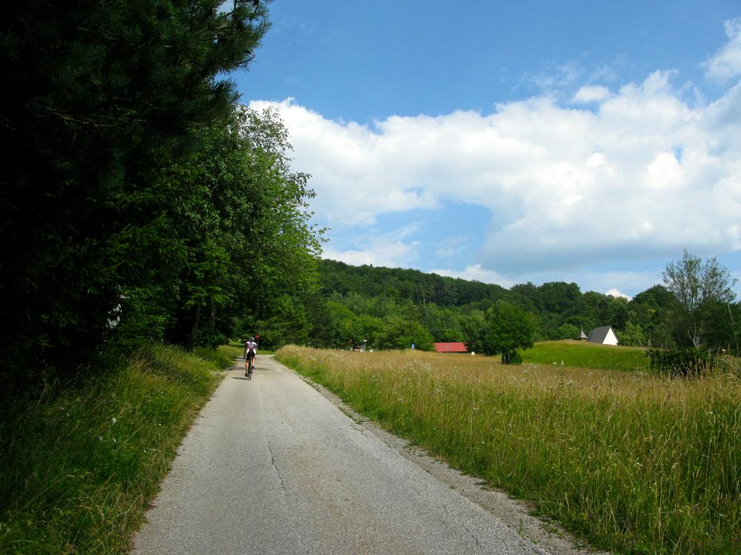
When exiting the parking place you continue on the same road, don't turn towards Podboč! Behind the right bend you will soon notice the sign for Boč. At the junction take the sharp turn left, and the street immediately rises into a respectable slope, occasionally reaching over 12 percent. After 500 metres it levels for a moment, but then continues steeply ahead. The road is wide, the asphalt in the beginning smooth.
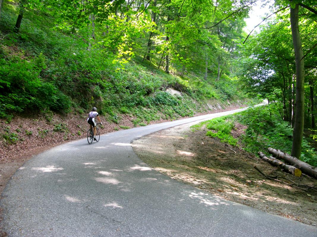
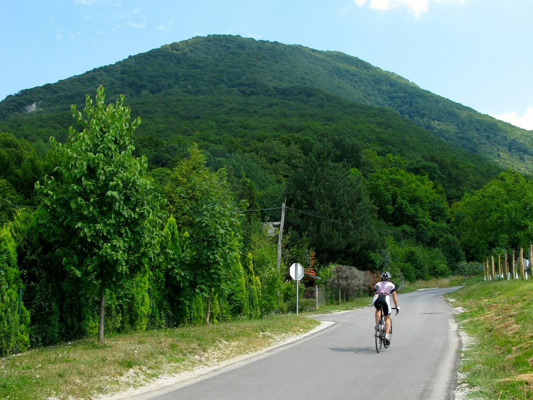
There's just no rest
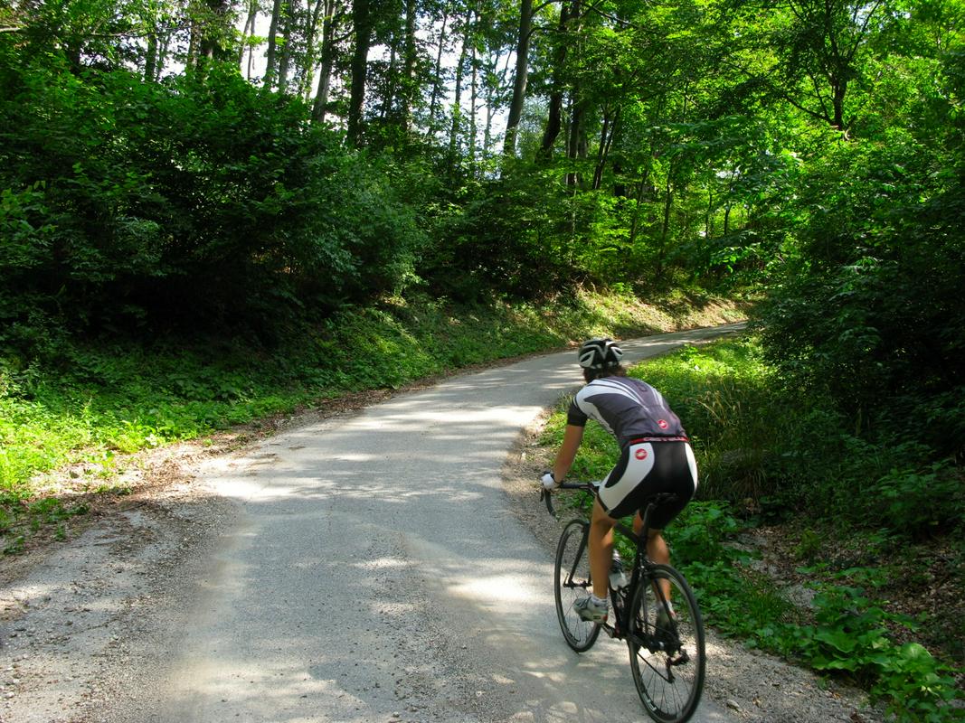
At first the road passes through a settlement, and then enters the forest where it narrows and continues winding in serpentines towards the mountain hut. The part through forest is no easier than in the beginning. Next you face two steep right serpentines with straight, but mostly rather steep sections in between, occasionally with a lot of stones on the road surface brought by rainwater, or fallen from the rocky slopes above the road – so be cautious when descending. After three kilometres turn into the left serpentine, the forest along the road thins for a moment, but the slope, unfortunately, remains steep.
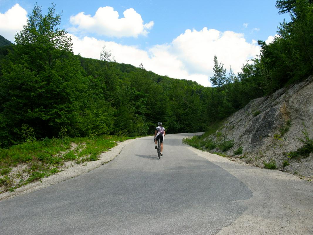
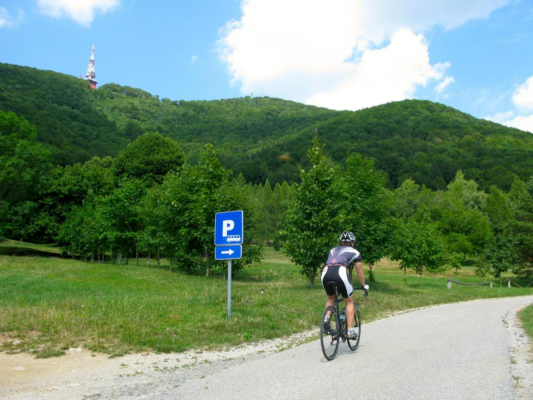
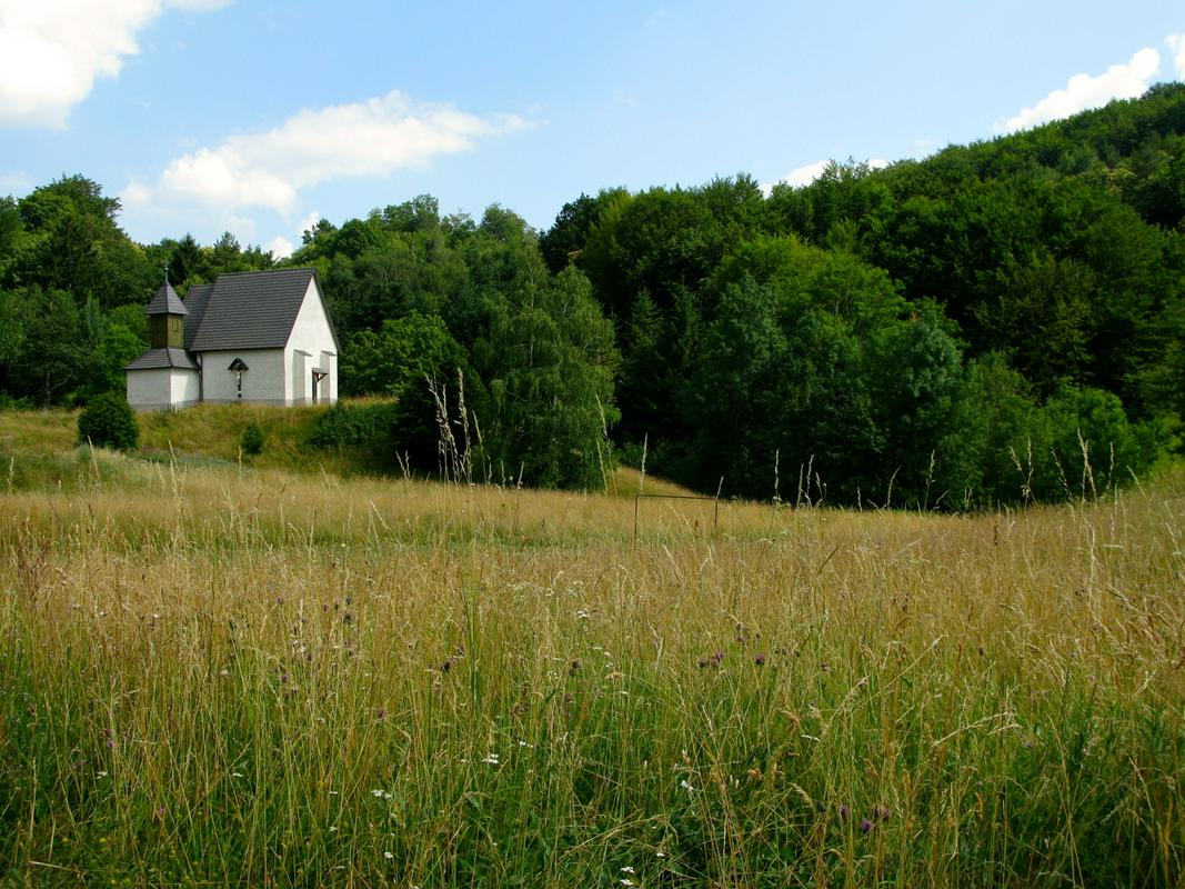
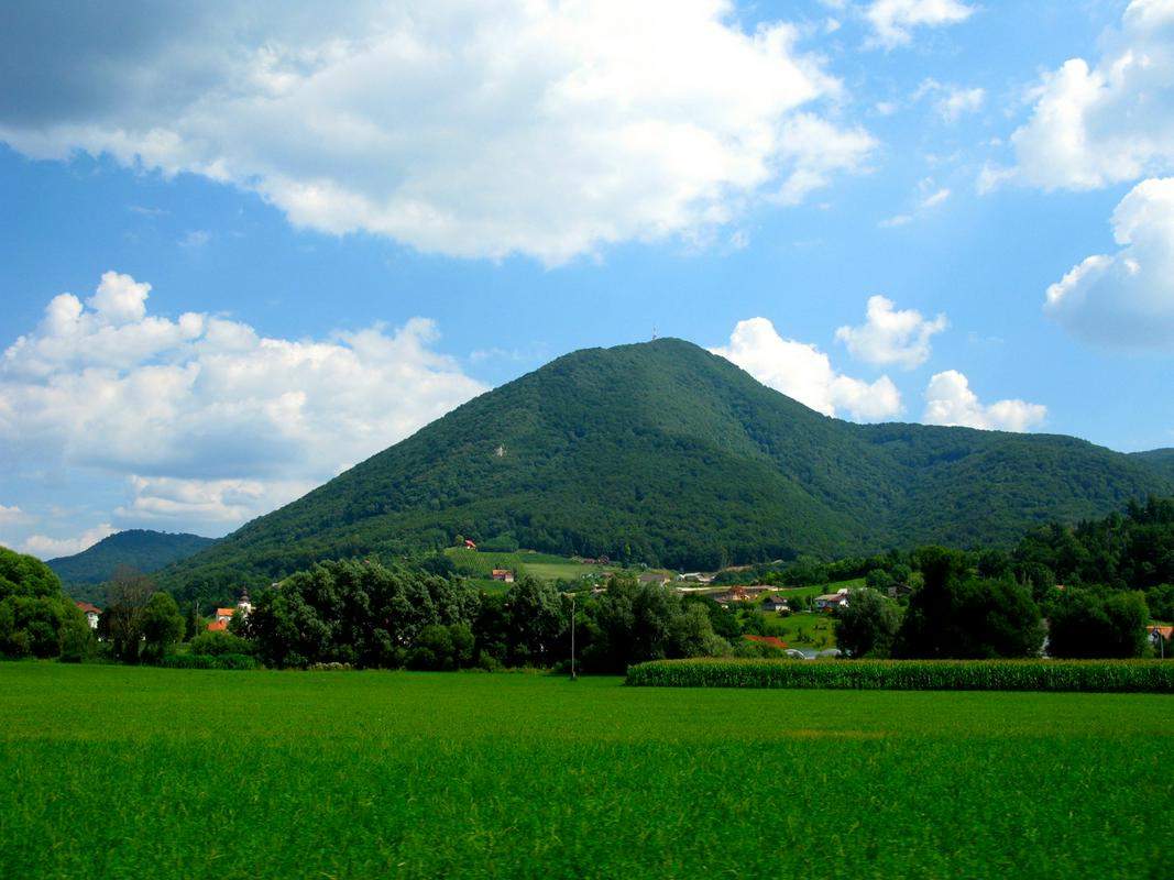
After 700 metres you come to a junction where a sign directs you left towards the mountain hut. Two steep sections and a bit less than one kilometre of the road are still ahead of you. When you reach the Boč top pyramid and the grass plateau where endemic pasqueflowers grow, your ascent is completed. You can see the transmitter above, the outline of the mountain hut ahead, and the little St Nicholas church on your right.
Length: 4.5 kilometres Total ascent: 400 metres
Average slope: 8.7 %
Difficulty: 4/5
Two options for descending into the valley
You can return to the valley the same way you came up, or you can chose the asphalt road descending along the left slopes of Boč. The road leading to Kostrivnica passes the St Nicholas church and rises a bit over a small mountain pass, and then descends the steep slopes through the village Drevenik into the valley. From there you can cycle to Podplat and through Prečica return to Poljčane. This circular tour is almost 20 kilometres long.
The road ascent to Boč from Poljčane or Kostrivnica to the hut, or by gravel road to the top (this year the fourth ascent was organized in the beginning of June) is a must for the collectors of Slovenian cycling climbs. Those living in the vicinity are lucky. The ascent of nearly 5 kilometres towards the mountain hut on Boč is an enviable training tour any enthusiastic cyclist would wish to have at his/her doorstep!
Uroš Bonšek, foto: Alenka Ropret
Translated by G. K.